Search -
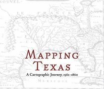
Mapping Texas: A Cartographic Journey, 1561 - 1860
Mapping Texas A Cartographic Journey 1561 1860
Author:
3,822 perimeter miles. 11,247 rivers and streams. 8,749 feet at its height. 268,596 square miles in total. Texas is big. Julius Caesar once quipped that all of ancient Gaul could be divided up into three parts. Texas resists such easy division. — Mapping Texas, edited by John S. Wilson, presents an array of early maps, dating from 1561 to 1860. T... more »
ISBN-13: 9781481311816
ISBN-10: 1481311816
Publication Date: 10/15/2019
Pages: 132
Rating: ?
ISBN-10: 1481311816
Publication Date: 10/15/2019
Pages: 132
Rating: ?
0 stars, based on 0 rating
Publisher: Baylor University Press
Book Type: Hardcover
Members Wishing: 0
Reviews: Amazon | Write a Review
Book Type: Hardcover
Members Wishing: 0
Reviews: Amazon | Write a Review
Genres:
- History >> Americas >> United States >> State & Local
- Science & Math >> Earth Sciences >> Geography >> Regional
- Science & Math >> Earth Sciences >> Geography >> Historic


