Search -
Fairfield County, Ct Upper Map
Fairfield County Ct Upper Map
Author:
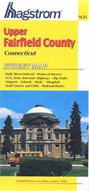
This convenient pocket map is fully street indexed and shows U.S., state and interstate highways, including the Merritt Parkway and the Connecticut Turnpike, hospitals, parks, golf courses, airports, schools, railroad routes, points of interest and ZIP codes. Map also contains insets of Danbury and Putnam Lake.
ISBN-13: 9780880971478
ISBN-10: 0880971479
Edition: Map
Rating: ?
ISBN-10: 0880971479
Edition: Map
Rating: ?
0 stars, based on 0 rating
Genres:
- Reference >> Atlases & Maps >> Travel Maps
- Reference >> Atlases & Maps >> World
- Travel >> Travel Writing
- Travel >> United States >> States >> Connecticut >> General


