Search -
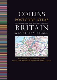
Postcode Atlas of Britain and Northern Ireland
Postcode Atlas of Britain and Northern Ireland
Author:
An essential business tool, this atlas covering all of Britain and Northern Ireland clearly shows the postcode boundaries (down to district level) for the whole country on detailed color mapping, updated with all the boundary changes. In central London postcodes are shown to the sector level. The main maps have a scale of 4.15 miles to 1 inch, w... more »
ISBN-13: 9780007312009
ISBN-10: 0007312008
Publication Date: 7/1/2009
Pages: 224
Edition: New
Rating: ?
ISBN-10: 0007312008
Publication Date: 7/1/2009
Pages: 224
Edition: New
Rating: ?
0 stars, based on 0 rating
Genres:
- Reference >> Atlases & Maps >> Atlases & Gazetteers
- Travel >> Europe >> Great Britain >> Northern Ireland
- Travel >> Travel Writing


