Search -
Dayton, Oh (City Wall Maps)
Dayton Oh - City Wall Maps
Author:
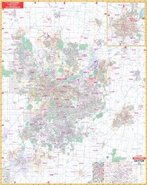
Full color commercial wall map, showing complete street detail and boundaries for all of Dayton, Ohio and adjacent areas with the following boundaries: North: Dayton International Airport, Vandalia; South: Montgomery County Line; East: Fairborn, Beavercreek, Spring Valley; West: Union, Englewood, Trotwood and Miamisburg; Map Insets: Xe... more »
ISBN-13: 9780762508419
ISBN-10: 0762508418
Rating: ?
ISBN-10: 0762508418
Rating: ?
0 stars, based on 0 rating
Publisher: Universal Map Enterprises
Book Type: Paperback
Members Wishing: 0
Reviews: Amazon | Write a Review
Book Type: Paperback
Members Wishing: 0
Reviews: Amazon | Write a Review


